
Help Center
FAQ
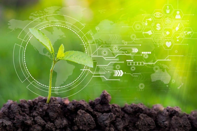
At Smart Agro, we are committed to promoting sustainability and environmental stewardship in agriculture. Our Agro smart tools not only optimize farm productivity but also support long-term sustainability goals, ensuring a brighter future for generations to come.
Zone Maps, fueled by geospatial data, unlock the full potential of agricultural land. Our multi-layer and multi-year Management Zones and VRA Maps allow for comprehensive analysis, storage, and visualization of data, accessible through web and mobile platforms. By utilizing VRA or Rx Maps, farmers can embrace precision agriculture, minimizing waste and environmental impact.
Our IoT sensors detect real-time weather conditions, facilitating the creation of dependable field activity plans through advanced weather analytics. Access historical data, current conditions, and a 14-day forecast tailored to your field.
Say goodbye to wasted inputs and welcome improved yields with our satellite precision farming solutions. Our smart irrigation systems enable farmers to optimize water usage, delivering the precise amount of water needed for each plant. This not only reduces water waste but also conserves resources and enhances crop quality.
Remote monitoring via mobile apps empowers farmers to stay informed and in control, ensuring timely notifications and enabling remote manual processing when necessary. This reduces the burden on manpower and enhances operational efficiency.
Our precision software seamlessly integrates data from various sources—sensors, drones, and satellite imagery—providing farmers with invaluable insights into crop health, soil conditions, and environmental factors. By analyzing this data, farmers can pinpoint areas for improvement and implement targeted strategies to maximize yields.
 English
 Magyar